
系統查無資料,或是該老師/人員已不在本校任職
系辦地址: 260007宜蘭市神農路一段一號(工學院2樓土木系)
學系專線:+886-3-9357400 分機 7530~33
傳真號碼:+886-3-9360125
E-mail: civil@niu.edu.tw
校安值勤專線:+886-3-936-4006 / 警衛室:+886-3-931-7555
校園性別事件通報請洽:+886-3-936-4006
學系專線:+886-3-9357400 分機 7530~33
傳真號碼:+886-3-9360125
E-mail: civil@niu.edu.tw
校安值勤專線:+886-3-936-4006 / 警衛室:+886-3-931-7555
校園性別事件通報請洽:+886-3-936-4006
 土木系社團
土木系社團  土木系影音
土木系影音 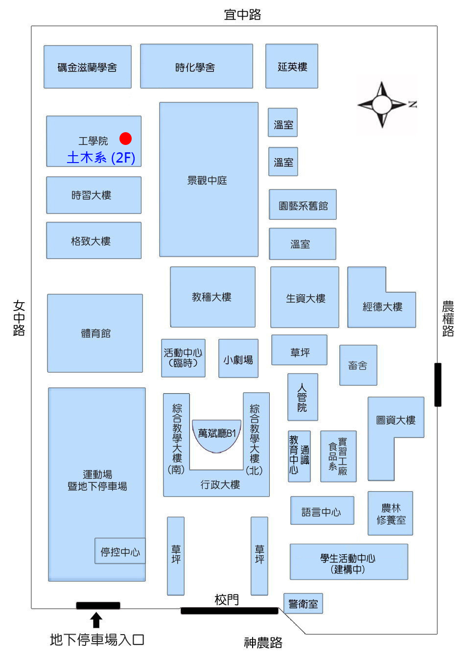
Copyright © National Ilan University All Rights Reserved